START
FINISH

Summary
This project showed the value of using weather stations and crop sensors to provide real-time data to growers to assist with decision making.
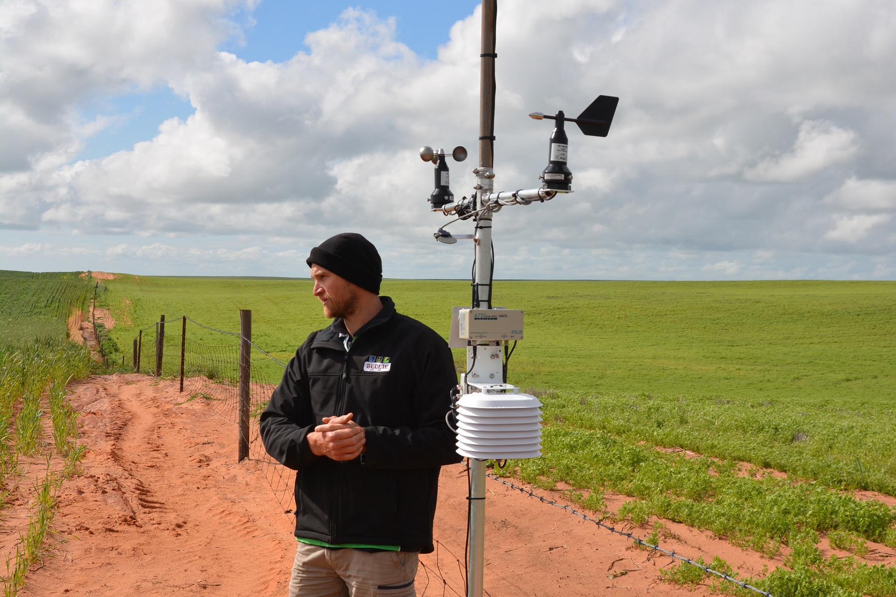
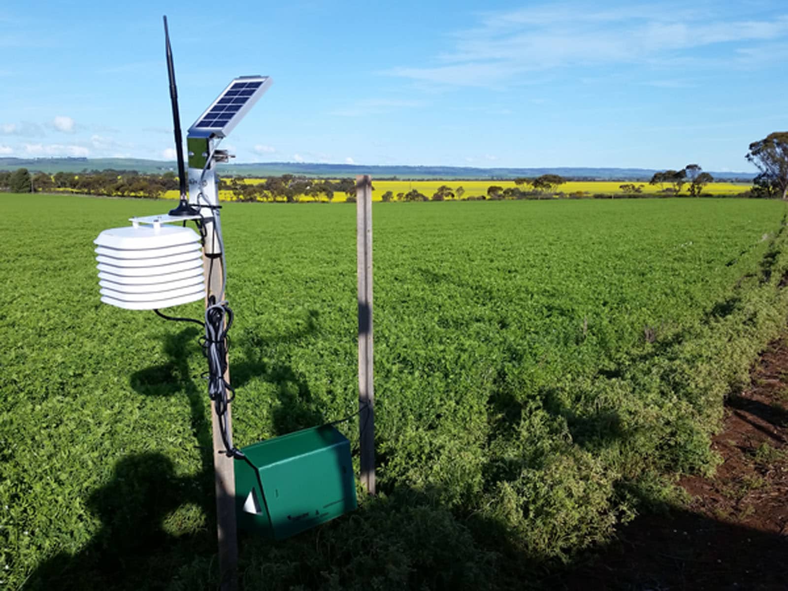
Monitoring sites were set up at Riverton, Bute, Hart and Booleroo Centre with local farming systems groups and growers provided access to the associated websites to view and utilise data.
Background
Crop and weather monitoring systems are available, and this project sought to show farming systems groups and other growers how the data collected in real-time could lead to better decision making.
Research Aims
The core objectives of the project were to:
• Create greater awareness about using weather and crop sensors when making management decisions.
• Provide websites for monitoring stations to allow farming systems groups to access weather information which could affect management decisions.
In The Field
Three monitoring sites were set up at Riverton, Bute and Hart in conjunction with the Mid North High Rainfall Zone (MNHRZ), Northern Sustainable Soils (NSS) and Hart Field Site groups, with an additional site added later for UNFS.
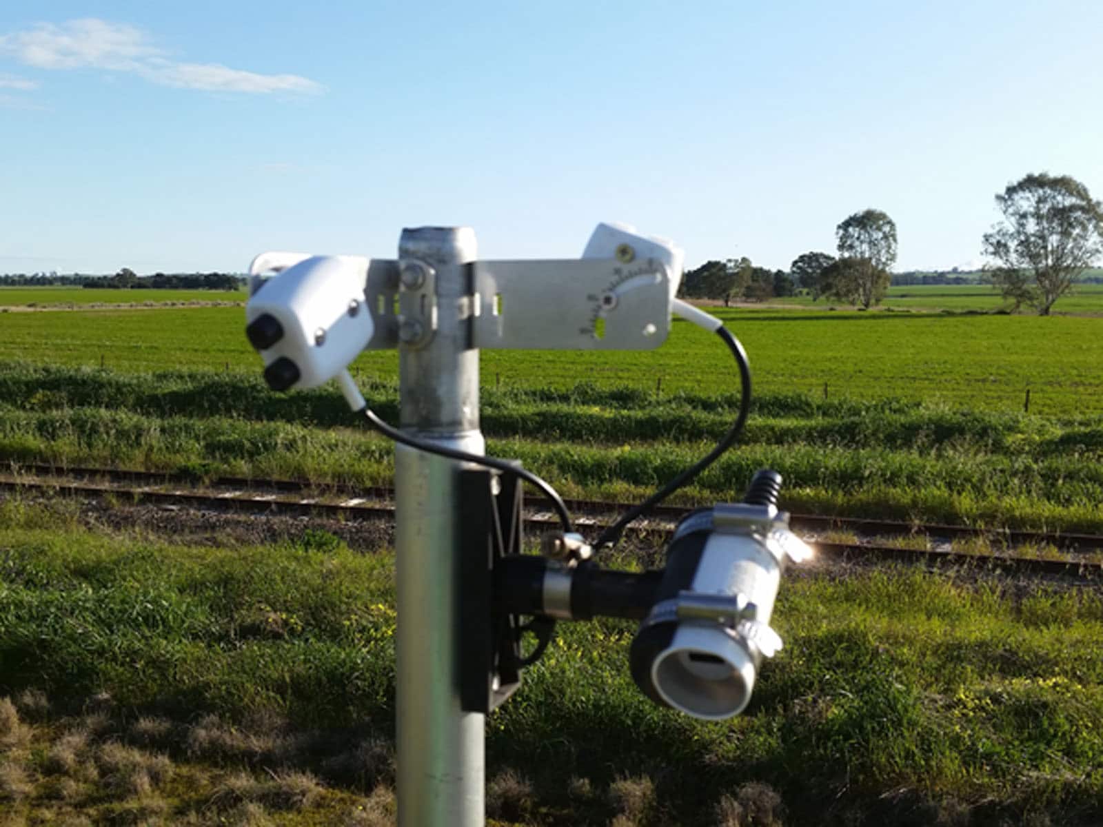
The sites monitored weather and crop information to help with decision making, including Fire Danger Index information to assist with harvesting decisions, soil moisture monitoring, canopy temperature, rainfall tallies, leaf wetness, wind speed and direction, NDVI information and insect trap monitoring.
The information from each site was made available online, with website hits for each site reaching more than 300 a day on high fire risk days during harvest.
Results
Anecdotal evidence indicated the data of most value to growers included:
• canopy temperature, which increased awareness of frost duration and severity;
• rainfall tallies which allowed for a quick check of herbicide residual issues that might present in the following crop;
• data related to spray conditions including leaf wetness, wind speed and direction, and delta T;
• temperature inversion towers that can help with understanding events which lead to problematic conditions for spray drift;
• soil moisture probes for increased understanding of infiltration and root extractions, as well as quantifying residual moisture that is left after hay or pulse crops which can then be available for the following year’s crops.
The Fire Danger Index for decision making at harvest time has increased in use across the state, with an increase in the number of website hits from the grower group networks involved in this project on high fire risk days, which included both growers and community members.
Project Participants
Agbyte: Leighton Wilksch.
The Problem
Using weather and crop data to assist with real-time decision making.
The research
Providing farming systems groups and growers access to real-time weather and crop data at monitoring sites in Riverton, Bute, Hart and Booleroo Centre.
More information
Leighton Wilksch, Agbyte
M: 0408 428 714
E: [email protected]
Value for Growers
The sites provided growers and agronomists with access to real-time weather and crop data.
There was excellent engagement with farming systems groups, with positive feedback about the value and usability of outputs. There has been positive practice change for harvesting decisions, due to many users having access to the same Fire Danger Index information at the same time.
Latest Research Projects


