Use of drones to non-destructively assess wheat varieties (UA217)
START
July 1, 2017
FINISH
June 30, 2018

Tags: assessment | data | drone | field trial | height | Mallala | plant growth | Roseworthy | vegetation | wheat
Summary
In 2017, this project tested the ability of drones equipped with red/green/blue (RGB), multispectral and thermal imaging cameras to accurately measure values of plant growth including shoot biomass, plant height and vegetation indices. The project took place at field trial sites for Grains Research and Development Corporation-funded project UA00159 at Mallala and Roseworthy.
Values for canopy height, biomass and normalised difference vegetation index (NDVI) were accurately derived from the drone photos. RGB images proved the most reliable as they were least influenced by weather conditions.
Background
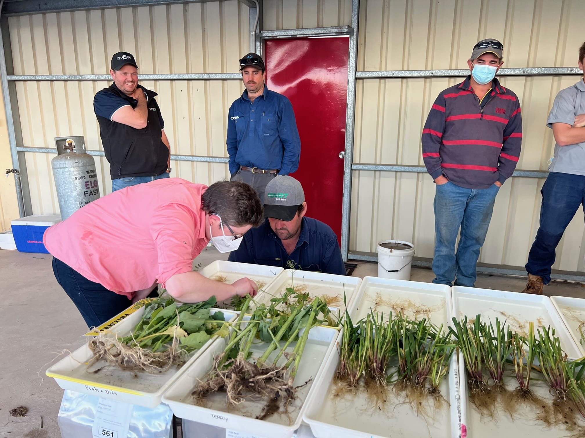
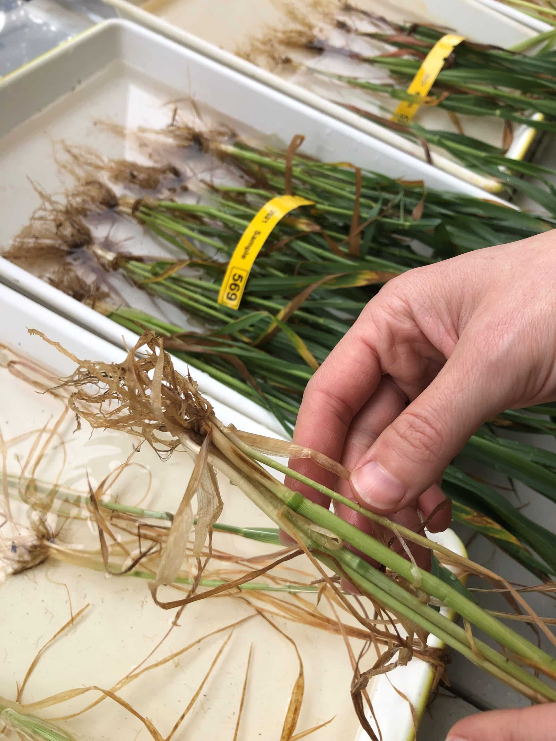
Current practice in field trials is to use labour intensive methods to measure crop characteristics. This limits the amount of data that can be gathered due to time and budget constraints. Developing a reliable method of data collection that is less labour-intensive and will not require sample destruction will increase the ability of researchers to gather relevant information from large scale field trials.
The project was conducted at existing research trial sites to test the efficiency of cameras affixed to drones in measuring plant characteristics in trial conditions. The existing trials at Mallala and Roseworthy, conducted as part of GRDC funded project UA00159, were aimed at improving wheat yields in sodic soils.
Research Aims
The core objectives of the project were to:
- Develop methods to use non-destructive aerial imaging to determine biomass, plant height, vegetation indices and canopy temperature.
- Use aerial imaging to phenotype field trial plots to assist with the identification of plant traits linked to higher grain yields at sodic sites.
In The Field
Drones fitted with RGB, thermal and multispectral cameras were used to survey the field trials at Mallala and Roseworthy.
The drones, 3DR Iris + quadcopters, were fitted with a Sony RX100 III (20 megapixel) RGB camera and a MicaSense multispectral camera. Flights were conducted 20 metres above ground level at two time points, stem elongation and anthesis.
The data was processed using Pix4D Mapper Pro and ArcGIS software packages, creating three-dimensional models of the trial plots and values for plot canopy biomass and canopy height.
These values were compared with handheld measurements made with a ruler, infrared thermometer, GreenSeeker™ unit and FieldSpec™ unit taken at the same time as the drone flight.
Results
- RGB images were less affected by weather conditions and more reliable than thermal and multispectral images.
- Methods of estimating canopy height, biomass and NDVI from drone images of wheat for individual field trial plots were successfully developed.
- RGB images provided plant canopy height and biomass estimates which aligned with ground measurements.
- RGB cameras on drones could be useful to non-destructively measure ongoing wheat growth through changes in plant height and biomass between stem elongation and anthesis (see SAGIT project UA318 – Investigating the accuracy of plant traits measured using drones).
- Differences were identified in biomass between different varieties in the sodic field trial site, assisting the GRDC funded project UA00159.
Project Participants
University of Adelaide: Dr Rhiannon Schilling, A/Prof Glenn McDonald, Dr Ramesh Raja Seragan, Lucy Cunningham.
The Problem
Less destructive and labour-intensive methods are needed to gather data on crops in large scale field trials.
The research
Drones fitted with different types of cameras were used to compare effectiveness to handheld devices and destructive measurements.
More information
Dr Rhiannon Schilling, SARDI
T: 08 8429 2926
M: 0407 815 199
E: [email protected]


Value for Growers
This project will assist in developing:
- A protocol for the collection of high-quality images of field trial plots using drones.
- Methods to extract accurate and meaningful information (such as biomass) from drone images.
By developing non-destructive and high-throughput methods to quantify traits in individual field trial plots, such as biomass, this project will help to fast track the screening of pre-breeding and breeding individual wheat lines for more accurate selections of crop growth under different environments (such as sodic soils). This will help to identify the most promising wheat lines to be used to develop new elite wheat varieties for South Australian growers.
Growers will also benefit from the development of knowledge of how drones equipped with RGB cameras can be used to monitor ongoing crop growth on their own properties including information on suitable flight parameters and image quality and overall methods to extract information (such as plant biomass) from images collected.
Latest Research Projects