Improved soil water data decisions across the South East cropping region (MFM218)
START
May 1, 2018
FINISH
December 31, 2020

Summary
Soil moisture data from probes across the South East was monitored and ground-truthed, improving confidence in its use and relevance. The data was published via a single portal with weather data and other key indices. Growers were shown how to use the data to inform their crop management decisions.
The importance of long-term data for understanding the seasonal variability of water in the soil profile was highlighted. In the lower SE, the impact of the water table on plant growth and yield was also observed.
Background
This project aimed to provide grain growers across the South East with verified, real-time soil moisture information by presenting data from the existing MacKillop Farm Management Group (MFMG) network with the Limestone Coast Landscape Board (formerly South East Natural Resource Management Board) weather station network on a single platform. Making this information easy to access and interpret would help improve crop management decision-making.
Research Aims
The overall goal was to develop and deliver a more consistent soil water reporting system across the SE, using existing sensor networks. Doing so would help inform growers’ decision-making and extract more value from the moisture probe and weather station networks already deployed by MFMG.
In The Field
Data reported from the soil moisture probes and weather stations was moved onto the Wildeye platform and re-designed to be usable on tablet, mobile phone and desktop platforms.
Calculated weather derivatives such as fire danger index and Delta-T (air temperature minus wet bulb temperature) were added to the dashboard where weather data was available, allowing for more localised decisions around harvest and spraying operations.
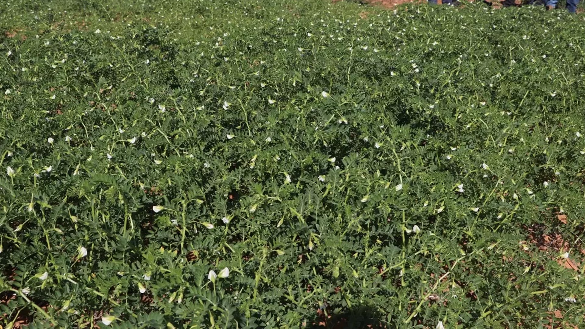
Soil moisture probes were monitored monthly during the 2019 and 2020 seasons and the results were ground-truthed by taking penetrometer readings at each site at the same time. Rainfall data was manually recorded to allow for calibration of plant available water (PAW) data.
Unfortunately, a lack of accurate or reliable correlation between the probe data and recorded rainfall events meant the field-based PAW calibration was unsuccessful. It was not possible to find a single corrective factor that would align summed changes in soil moisture level with a value attributable to rain events. Therefore, soil moisture can only be reported as a percentage of full, based on observed maximum and minimum soil water levels.
Agronomist and farmer workshops and online sessions were run during the project. Collaborative events were also run with the Tatiara District Council and the Coorong Tatiara Local Action Plan, linking in with the ‘Building the resilience and profitability of cropping and grazing farmers in the high rainfall zone of Southern Australia’ project being funded by the National Landcare Program and led by Southern Farming Systems.
An unexpected outcome was engagement with the South East CFS. The dashboard format developed under this project was adapted for the CFS, enabling them to display weather data from across the SE on their own platform.
Results
The project achieved the following outcomes:
- A more consistent, dependable and accessible soil water reporting system across the SE, helping the region’s grain growers make more accurate crop management decisions.
- Better utilisation of the MacKillop Farm Management Group’s existing moisture probe and weather station infrastructure.
- More accurate calculation of PAW and other key crop management indicators, through monthly monitoring of soil moisture probe, penetrometer and weather data at each site.
- Correlation of crop performance to soil water data through monitoring over two growing seasons.
Project Participants
MacKillop Farm Management Group: Felicity Turner
The Problem
South East growers need access to automated soil moisture and weather data from across the region via one accessible and easy to use platform.
The research
Soil moisture and weather data from across the SE was consolidated in a single, easy-to-use platform after monthly data was collected, ground truthed and calibrated using penetrometer readings and rainfall data.
More information
Meg Bell, MacKillop Farm Management Group
T: 0433 499 630
E: [email protected]
Value for Growers
This project created a number of key outcomes for SE growers.
Critical times of the year when growers make decisions were identified and links made to show how data from soil moisture probes could support those decisions.
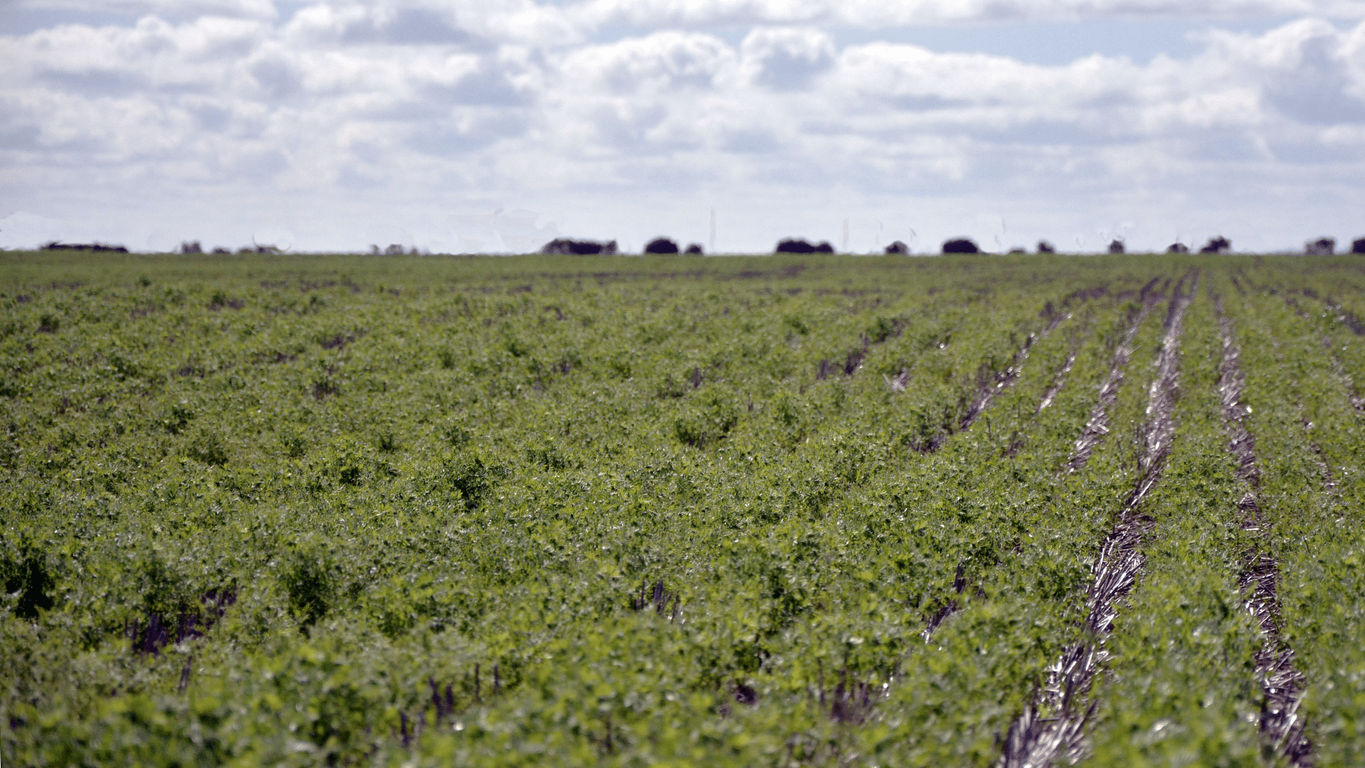
The quantity and location of soil water are critical, particularly at seeding time. In spring, the importance of stored soil moisture is greater in some environments (upper SE) and in soil types with a reduced soil water holding capacity. However, the depth of the soil moisture indicates how easily that moisture can be extracted and the ability of the crop to retain green leaf area and handle heat stress later in the season.
Data collected from soil moisture probes also provided a greater insight into how the water table interacts and impacts on crop production in the lower SE.
The project found that soil moisture probes should be used to determine how wet or dry the soil is as a percentage, rather than an absolute value, as PAW could not be consistently calculated. It also found that soil moisture probes are extremely useful for identifying where the soil moisture is located in the soil profile and the impact of rainfall events in penetrating to depth, particularly pre-seeding and summer rainfall events.
The greatest benefits were observed in the medium rainfall zone, where soil moisture levels in early spring can be crucial for determining grain yield, particularly if the spring rainfall outlook is below average.
In the lower SE (high rainfall zone) moisture probes can provide useful information on moisture levels at seeding, particularly if there is a later break. They can also be used to monitor for waterlogging in winter (helping growers avoid nitrogen application in waterlogged conditions), and drier conditions in spring which may impact on late fungicide applications.
The impact of the water table in the lower SE was also observed. Crops at the Conmurra site showed an ability to utilise this water while at the Millicent site crop roots appeared to need the water table to subside before they penetrated deeper into the soil.
The data from the soil moisture probes is available via the MacKillop Group website: https://www.mackillopgroup.com.au.