Using soil water information to make better decisions on Eyre Peninsula (EP216)
START
July 1, 2016
FINISH
June 30, 2019
Tags: AIR EP | crop lower limit | CSIRO | drained upper limit | EPAG Research | Eyre Peninsula | low rainfall | plant available water content | soil | soil cores | soil data | soil moisture | soil moisture probes | yield
Summary
This project was designed to identify how data from soil moisture probes could help improve management decisions through real-time knowledge of plant-available water across Eyre Peninsula.
Soil adjacent to each probe was cored and moisture tested twice yearly, and grain yields recorded. The probes were then calibrated to better approximate plant-available water content.
The findings showed the benefits of summer weed control and the ability of different crops to extract soil moisture – helping growers understand plant water availability and use on their soils.
Background
A network of 36 soil moisture probes was established to provide live data on soil moisture and rainfall, as well as estimates of plant available water-holding content and soil limitations and additional weather data at 15 of the sites.
It took two growing seasons to gather usable data on how soil moisture was behaving at each site, including where the fullest point of the soil was, how dry the soil could get, and how much moisture could be extracted by different crops. This limited the amount of information that could be provided to growers and advisers during the project.
Despite soil coring at the start and end of each growing season and using measurements to capture the drained upper limit, crop lower limit and bulk density, there was a low correlation between the soil moisture probe outputs and the results measured in the soil cores.
Consultation with CSIRO researchers established that this was common in many low rainfall environments, especially in stony soils. The CSIRO had found it could take three or more years of concentrated effort to get accurate data on plant available water.
Estimates of plant available water and plant available water capacity for each probe site and at any time of the year were subsequently made using the CSIRO-developed Soil Water Express web tool and live data from the soil moisture probes.
Research Aims
The core research objective was to provide EP growers with information on how data collected by the existing soil moisture probe network could be converted into decision support tools for tailoring inputs and targeting full yield potential.
In The Field
Project activities included:
- A network of 36 soil moisture probes was established across the EP.
- The network consisted of previously installed and newly installed soil moisture probes located on strategic soil types and with key farmers.
- Plant available water capacity was identified at 29 sites.
- A live platform was created to view soil moisture at 36 sites and meteorological data at 15 sites.
- Three sites with existing soil moisture probes were characterised for soil moisture holding characteristics (i.e. soil moisture present at sowing and soil moisture present at maturity collected from under rainout shelters).
- Testing for soil chemistry and soil moisture was undertaken at 29 sites.
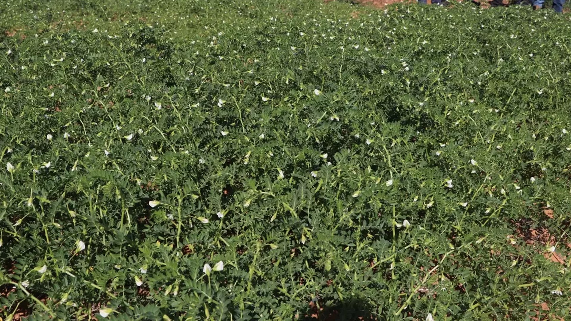
- Fifteen sites were planted to wheat, seven to pasture, four to pulse crops, three to barley and two to canola.
- Eight sites were characterised for drained upper limit, crop lower limit and bulk density.
- Information of plant water holding capacity for each probe site was developed using using Soil Water Express, a web tool developed by CSIRO.
- Presentations at field days and seminars were given during the project.
Results
There were many commonalities across sites and the project showed that soil moisture probes were able to demonstrate:
- The benefits of summer weed control, and
- How effectively crop types extract available moisture (pastures and pulse crops generally used less soil water than cereals).
These assist growers to better understand plant water use on their soils.
Project Participants
EPAG Research: Andrew Ware
The Problem
How to best utilise information from soil moisture probes located across Eyre Peninsula to enable better management decisions based on real time knowledge of plant available water.
The research
Soil moisture probes calibrated to provide an estimate of plant-available water content. Soils adjacent to moisture probes are cored twice yearly, tested for soil moisture, and grain yields recorded.
More information
Andrew Ware, EPAG Research
T: 0427 884 272
E: [email protected]
EPAG Research – Agricultural Research on the Eyre Peninsula


Value for Growers
The network of 36 soil moisture probes provide live data on soil moisture (plus weather data at 15 of the sites), as well as estimates of plant available water-holding content and soil limitations. This has the potential to become a valuable resource and platform for further research.
The project improved grower knowledge of plant water use patterns and the value of controlling summer weeds to conserve moisture. It also generated discussion on improving plant water use efficiency. Positive grower recognition and interest was demonstrated through surveys in 2018 and 2019.
An improved understanding of how to utilise soil water information means growers now have more confidence to make in-season decisions about how much N fertiliser to apply to match yield potential.
Data from the soil moisture probes is available online. The quality of data produced by the EP soil moisture network, the way it is displayed and methods to extrapolate soil moisture away from the probe sites has been continued as part of a National Landcare Program (NLP) Smart Farm Project (Resilient EP), with support from AIR EP.